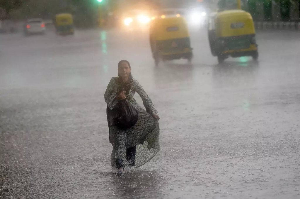
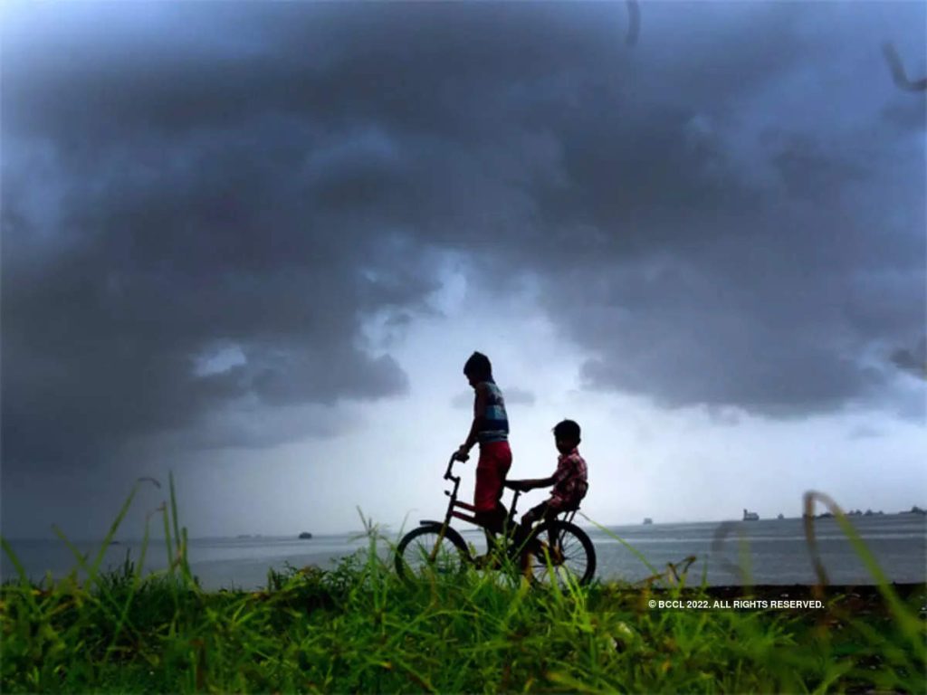
Mumbai : Monsoon line moves forward in Bay of Bengal on Thursday The monsoon reached some parts of Mizoram, Nagaland, Manipur; But it did not make much progress on the West Bank. The monsoon will be more active on the west coast in the second week of June, according to forecasts of extended range of rainfall given on Thursday. In the meantime, Maharashtra may experience extreme weather, the Indian Meteorological Department said.
The monsoon is expected to reach parts of central India in the next two days. Monsoon rains are expected in the state from June 7 to 10. However, according to the forecast of extended range of rainfall for four weeks, it is not clear that the rains will be very active on the west coast till June 9. This activity seems to have increased on the west coast during the week of 10 to 16 June. The monsoon is also active in Konkan and some parts of Central Maharashtra. The monsoon in Marathwada and Vidarbha is likely to arrive in the second fortnight of June. Apart from Konkan, heavy rainfall is not expected in the rest of Maharashtra during this period.
Pre-monsoon rains with thunderstorms are likely in Konkan and central Maharashtra. On the other hand, heat waves are likely to be felt in sparse places in Vidarbha. Light showers with thunderstorms are expected in Raigad, Ratnagiri and Sindhudurg. In central Maharashtra, Kolhapur, Satara, Sangli, Solapur are likely to receive thundershowers on Friday and also Ahmednagar, Pune, Hingoli, Nanded, Latur and Osmanabad. In Vidarbha, heat waves have been warned at Chandrapur, Gondia and Wardha on Friday and Saturday. Temperatures are likely to rise in Vidarbha till the onset of monsoon.